
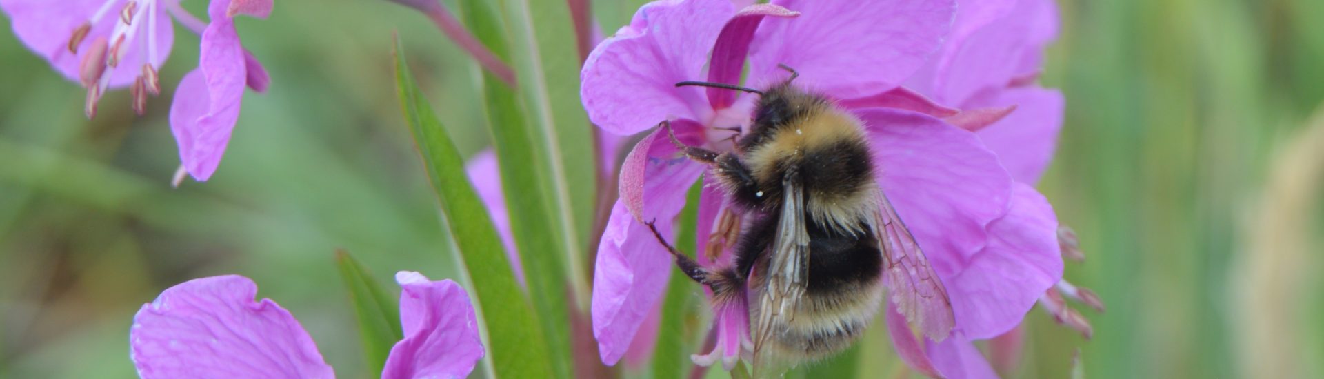
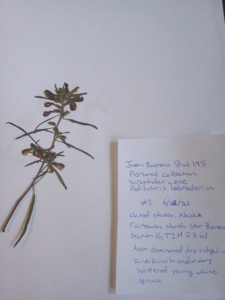
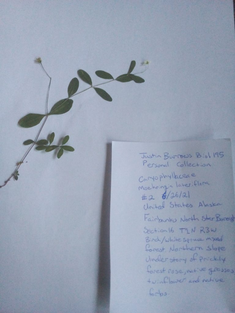
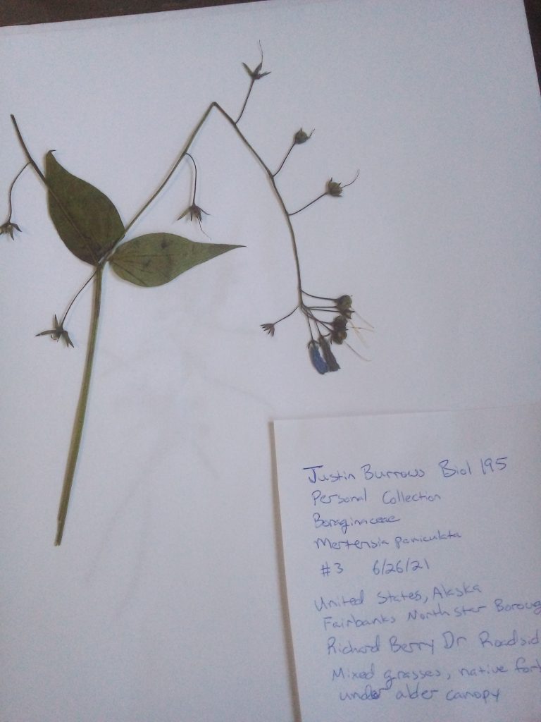
I’ve been having internet issues at home and finally got a neighbor’s permission to drop a couple of small trees to improve my line of sight to the tower. These plants were collected while housesitting for a friend, so I chose to indicate Township/Range/Section rather than post what is essentially the GPS point of their home. I used two heavy hardback textbooks, a belt, and some weight for good measure, but it appears that my improvised blotter (paper towel) didn’t work exceptionally well with the more succulent parts of the plants. This is the label layout used by a Bureau of Land Management seed collections project I helped with many years ago in Washington.
Well done Justin,
these turned our great! I love that you added habitat information, that is always a nice description to have especially if you are looking for a plant that somebody collected a while back and you are searching for it in the field. The habitat information can really help you hone in on the plant. Adding the author name for the plants would add another nice touch to these excellent specimens already. So Pedicularis labradorica Wirsing would be the one for the Labrador lousewort. If you were to add the longitude and latitude information you can find that on your maps app on your smartphone when you type in “my location”, but township and range information also works. Lat./ long. allows others not familiar with township and range to find the locality more easily…